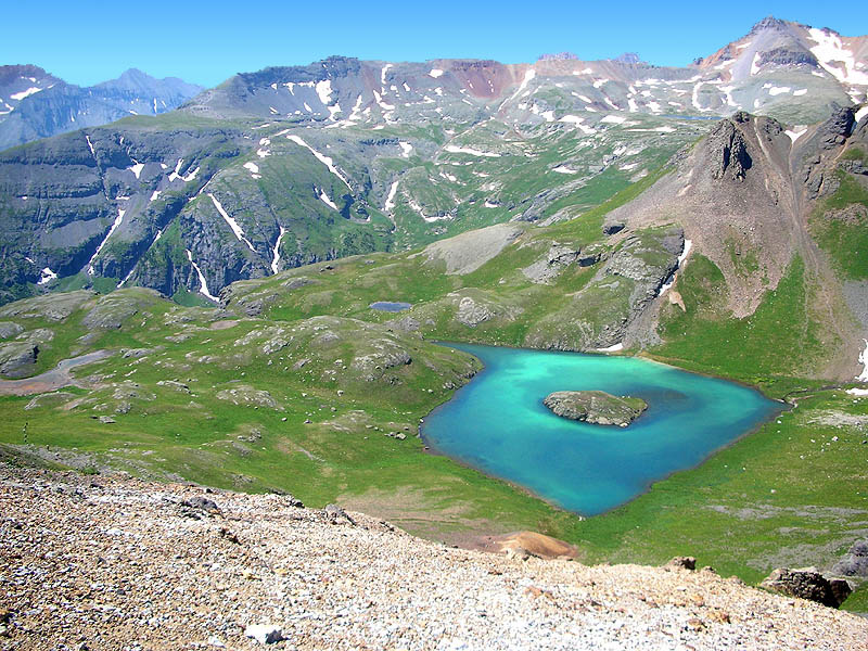
 View from the top of Grant-Swamp Pass [12,920'], looking south.
Fuller Lake can be seen in the extreme upper right.
And note the string of runners below in the grass at the far left.
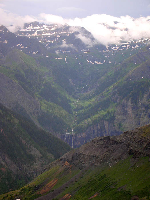
Zoom-in of Bridal Veil Falls from Virginius Pass.Somewhere up there in the clouds on the right is Oscar's Pass, which our trail crested 11.4 miles ago.
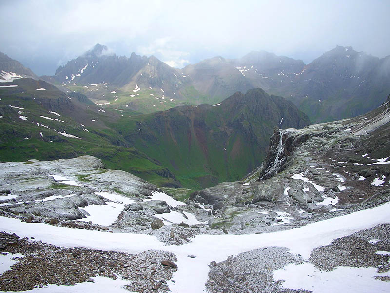
Spin around 180-degrees, and this is the view north from Virginius Pass.
The green ridge at dead-center is Stony Mountain [12,698'], and our trail decends straight ahead, down the valley to it's base.
The low saddle on the horizon, at the extreme left, is Blue Lake Pass [13,000']. The peak to the right of the pass is Mount Sneffels [14,150'].
Peak on the right side of the picture with the spikey nub on its left side is Teakettle Mountain [13,819'].
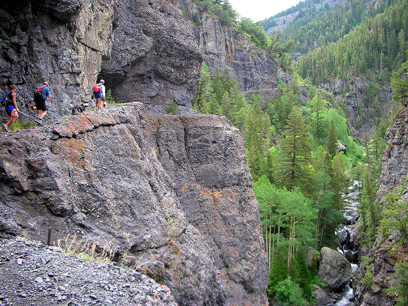
At the top of the switchbacks, the trail leaves the shale and enters the igneous. Miners blasted this route out of the side of the cliffs just outside of Ouray.

View from Upper Blue Lakes basecamp (12,980 feet) for acclimitizing and training climb up Mt. Sneffels (14,150 feet).

Looking back at Upper Blue Lakes basecamp from 1/2 way up the Blue Lakes Pass (ridge before the climb up Sneffels). Check out those yellow flowers!
2 comments:
Wow. That is so beautiful.
Stunning! Especially the last photo.
Post a Comment